

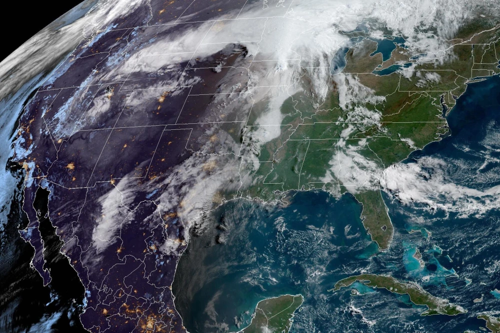
Severe thunderstorms are set to impact a wide portion of the United States on Monday, continuing into the evening, with the highest risk of significant damage concentrated in the Upper Midwest.
On Monday, 36 million people are at risk of severe storms stretching from northern Minnesota to southwest Texas. These storms could bring strong tornadoes, hail up to 2 inches in diameter, and destructive straight-line winds.
There will be two rounds of storms on Monday: the first will reach Minnesota by noon, with hail being the primary threat. The second round will develop by the afternoon and continue into the evening.
Several intense storms are expected to affect Minnesota, Wisconsin, and northern Iowa, while storms to the south and west will be more scattered. Cities like Minneapolis, Rochester, Minnesota, La Crosse, Wisconsin, and Des Moines, Iowa, are facing the highest risk of tornadoes.
Officials in the Twin Cities are monitoring the situation closely. Ramsey County Emergency Management and Homeland Security Director Judd Freed advised locals to have an emergency plan in place, keep electronics charged, and pay attention to outdoor warning sirens. “If you hear those sirens tomorrow, stop what you’re doing, especially if you’re outside — find shelter and stay informed,” Freed urged.
Over the weekend, flash flooding in Oklahoma claimed at least one life. The Lawton Police Department reported that the fatality occurred after someone drove into standing water. Heavy rainfall led to flooded roads, evacuations, and water rescues. The storm system responsible for Monday’s severe weather will move eastward, bringing severe storm risks to 46 million people from northern Vermont to western Texas on Tuesday.
Within this broader area, there are two regions with an elevated chance of damaging storms: one stretching from west Texas into central Oklahoma, and another from the Ohio Valley into the interior Northeast.
Tuesday’s primary concern will be large hail. By Wednesday, another storm system will move into the Plains, placing 8 million people in northern Texas at risk for storms with the potential for all types of hazards.
Flash flooding remains a concern from Tuesday into Wednesday, as repeated storms are expected to drop 2 to 4 inches of rain from northern Texas to southern Missouri, with localized totals exceeding five inches.
Cities that may face flooding on Tuesday include Oklahoma City, Tulsa, Oklahoma, and Wichita Falls, Texas. On Wednesday, flooding could impact Texarkana, Texas, and Fayetteville, Arkansas.