Severe storms are expected to cause widespread disruption from southern Texas to northern New York on Tuesday, bringing the threats of large hail, damaging winds, and isolated tornadoes.
Roughly 42 million people are in the path of these potentially dangerous storms. In Oklahoma, thunderstorms remain active, with a severe thunderstorm watch in place until 10 a.m. CT (11 a.m. ET).
This latest round of extreme weather follows a volatile Monday that generated nearly 150 storm reports across the country, with large hail being the most common threat.
In Minnesota, Monday’s storms caused significant damage, including downed trees and widespread power outages. The city of Faribault, in the southeast part of the state, saw a barn and several silos destroyed, according to NBC affiliate KARE in Minneapolis.
Some parts of southwestern Minnesota reported hail up to two inches in diameter. At one point, over 7,000 customers in the Twin Cities lost power, though service has since been restored.
Cities under heightened risk on Tuesday include Lubbock, Texas; Oklahoma City and Tulsa, Oklahoma; Nashville, Tennessee; Indianapolis, Indiana; Louisville, Kentucky; Cincinnati, Columbus, and Cleveland, Ohio; as well as Pittsburgh, Buffalo, and Watertown, New York.
The most significant threats from Tuesday’s storms are expected to be large hail—potentially up to two inches in diameter—wind gusts reaching up to 75 mph, and the possibility of a few tornadoes, particularly in the corridor stretching from Springfield, Missouri, to Lubbock, Texas.
On Wednesday, severe weather threatens 11 million people across an area stretching from central Texas to northern Arkansas. Cities at greatest risk include Dallas, Texas, as well as Little Rock and Fayetteville in Arkansas.
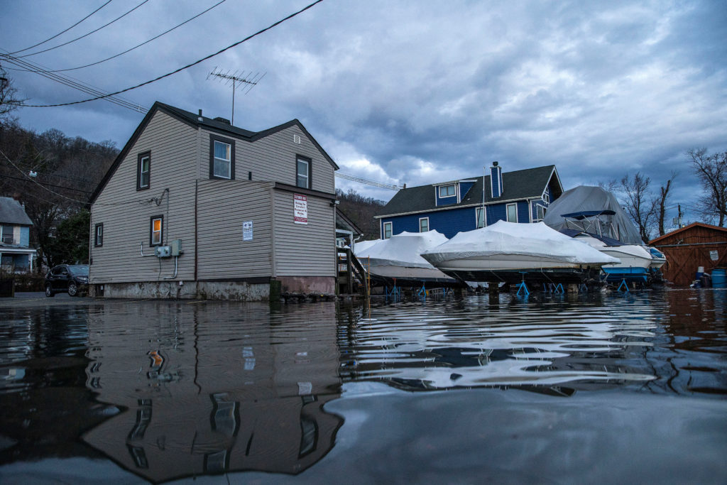
Flooding is also a growing concern beginning Tuesday, with flood watches affecting around 7 million people from northern Texas to southern Missouri.
Earlier Tuesday, Oklahoma City was placed under a flash flood warning. Smaller cities like Lawton and Moore, Oklahoma, may also face flooding due to saturated ground from recent heavy rainfall.
A moderate risk of flooding is in effect across portions of the Plains, with areas like Wichita Falls, Oklahoma City, Tulsa, and St. Louis most likely to experience flood-related impacts.
On Wednesday, the flood threat extends from the Texas-Oklahoma border into western Arkansas. Rainfall rates of one to three inches per hour are expected to drive flooding concerns, with total accumulations of five to eight inches possible through Thursday morning.

